
🎣
Loading BassFishing.World
Preparing your fishing experience...
Loading BassFishing.World
Preparing your fishing experience...
Every week our AI reads the satellite imagery, the forecast and the public fishing reports for your lake, marks the zones to fish first, and writes a report you can read at the ramp. Free, no account needed.
Members also get a private fishing map built automatically from their own catch photos and videos. Free.
Weekly report with weather, baits and where to start
Weather-aware weekly report, AI satellite map study, and a digest of public fishing reports for each lake.
Free with your account
Every photo and video on your phone carries the GPS coordinates of where it was taken. Upload your catches and we turn them into a private fishing map of your own water. No typing in waypoints, no cost.
Upload photos or videos
From your phone or computer. Years of old catches work too.
AI verifies the bass and reads the GPS
Computer vision confirms the fish; the coordinates come straight from the file.
Your private My Map builds itself
Every pin is a bass you caught, on satellite imagery, visible only to you.
Want to sell a spot? Flip it on. Buyers pay for the exact coordinates and you keep half. See the marketplace
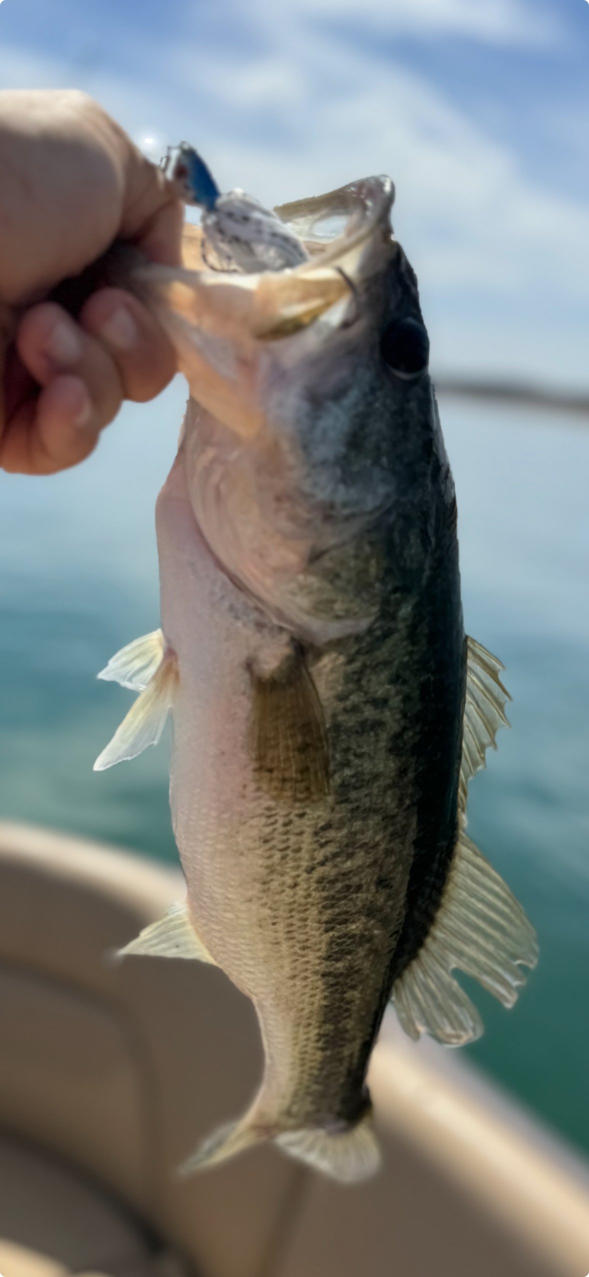 GPS in the file
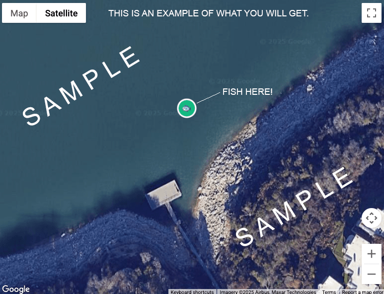 Your private My Map
AI analysis, lake by lake
The same homework a tournament angler does the night before, done for every covered lake and refreshed as conditions change.
The AI reads a grid of satellite tiles and marks points, channel swings, grass lines, docks and timber that should hold bass this month, with depth and bait notes for each zone.
Seven days of actual weather and a seven-day forecast at the lake, with cold fronts flagged, shape the outlook: pre-front feeding windows, post-front slowdowns, estimated water temperature.
Guide reports, agency updates and outdoor columns are summarized in our own words with links to the originals. Reported numbers stay reported; everything else is labeled as an expectation.
AI zones are approximate starting areas and are labeled that way everywhere they appear. Exact, proven GPS spots come from real catch photos in the marketplace.
Marketplace spots are exact GPS coordinates pulled from real catch photos, shown on satellite imagery with the fish that was caught there. Skip the search on an unfamiliar lake.
Browse spotsYour old catch photos are waypoints other anglers will pay for. List only what you choose, keep your current water private, and take half of every sale through Stripe.
Yes. Every lake page, weekly report and AI map study on BassFishing.World is free to read with no account. An account is only needed to post, to build your own fishing map from your photos, or to buy and sell exact GPS spots.
Each month the AI studies a grid of satellite images of the lake together with the lake profile (structure, forage, depth), the current month, and the week's weather. It marks six to ten zones such as main-lake points, creek channel bends, grass edges and dock lines, explains why each should hold bass right now, and suggests depths and baits. Every zone is checked against a water mask so it sits on water, then published as an approximate starting area.
No. AI zones are map-study suggestions, labeled approximate and never sold as verified catches. The spots in the marketplace are exact GPS coordinates pulled from real catch photos uploaded by anglers, with the bass in the picture. The free AI layer tells you where to start; a purchased spot tells you where a bass was actually caught.
Phones embed GPS coordinates in every photo and video they take. Upload your catch photos or videos and the AI confirms there is a bass in the frame, reads the coordinates from the file, and drops a pin on your private My Map. There is no manual entry and the map is free. Nothing is shared or sold unless you choose to list a spot.
Yes. Your map is private by default and shows only to you. The community feed never shows coordinates, only a region name. If you list a spot for sale, the exact coordinates are revealed only to the buyer after purchase. You decide which photos to upload and which spots, if any, to sell.
Listing is free. Spots typically sell for $15 and the proceeds are split 50/50, so you keep $7.50 per sale, paid out through Stripe. Guides and tournament anglers often list older waypoints they no longer run while keeping their current water private.
Twenty-seven lakes so far, including Fork, Sam Rayburn, Toledo Bend, Travis, Guntersville, Okeechobee, Champlain, Clear Lake and more, with new lakes added regularly. If your home lake is not covered, claim it under Fishing Reports to become its reporter.
Free lake reports and AI maps. Free private map from your photos. Sell only if you want to.